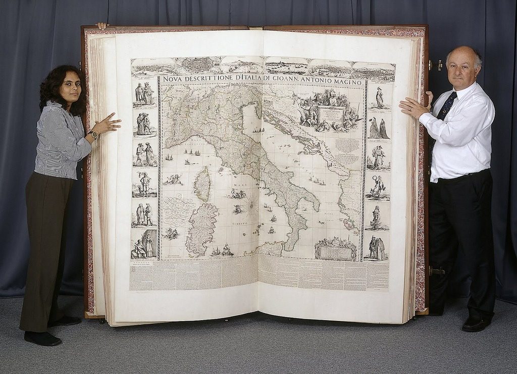
Last week, we featured the free digital edition of the The History of Cartography. Or what’s been called “the most ambitious overview of map making ever undertaken.” The three-volume series contains illustrations of countless maps, produced over hundreds of years. And it, of course, references this fine specimen: A gift given to England’s Charles II in 1660, The Klencke Atlas featured state-of-the-art maps of the continents and various European states. It was also notable for its size. Standing six feet tall and six feet wide (when opened), the volume remains 355 years later the largest atlas in the world. Learn more about it with the BBC clip below.
If you would like to sign up for Open Culture’s free email newsletter, please find it here. It’s a great way to see our new posts, all bundled in one email, each day.
If you would like to support the mission of Open Culture, consider making a donation to our site. It’s hard to rely 100% on ads, and your contributions will help us continue providing the best free cultural and educational materials to learners everywhere. You can contribute through PayPal, Patreon, and Venmo (@openculture). Thanks!
Related Content:
The History of Cartography, the “Most Ambitious Overview of Map Making Ever,” Now Free Online
A Wonderful Scientific Map of the Moon from 1679: Can You Spot the Secret Moon Maiden?
Galileo’s Moon Drawings, the First Realistic Depictions of the Moon in History (1609–1610)
New York Public Library Puts 20,000 Hi-Res Maps Online & Makes Them Free to Download and Use


No Gloves used in handling this treasure? In the British Museum?
Put on some gloves you twits!
With all due respect bit isn’t the Atlas des Großen Kurfürsten at the Berlin Stabi the bigger of the two? Agewise they’re close but I believe the Berlin atlas is the champ:)